GSG GIS & Remote Sensing Services

Harnessing Geospatial Data for Smarter Decision-Making

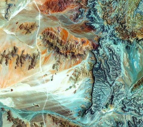
At Ground Systems Geophysical (GSG), we combine the power of Geographic Information Systems (GIS) and Remote Sensing technologies to provide advanced geospatial data and analysis for better land use planning, resource management, and environmental monitoring. Our innovative services help clients make informed decisions, optimize resources, and improve sustainability across multiple sectors.

Our

GIS & Remote Sensing Services

Digital Terrain and Surface Modeling (DTM, DSM)

Create detailed digital terrain and surface models to visualize land features and topography. These models help in planning, design, and monitoring, ensuring accurate representation of the land surface for various projects.

Aerial Mapping & 3D Terrain Visualization

Utilize aerial imagery and 3D terrain visualization to map and model landscapes. Our solutions provide precise, high-resolution data for improved site analysis and decision-making.

Land Use and Vegetation Mapping

Map and analyze land use patterns and vegetation types to support land management, agriculture, forestry, and environmental studies. We offer insights to optimize resource use and ensure sustainability.

Site Suitability Analysis

Perform detailed site suitability analyses for various purposes, such as infrastructure development, mining, urban planning, or conservation. Our geospatial tools help identify the best locations for projects based on terrain, environmental, and socio-economic factors.

Remote Sensing for Oil Spill Detection and Monitoring

Leverage satellite imagery and remote sensing technologies to detect and monitor oil spills. Our real-time monitoring services support quick response times, minimize environmental impact, and ensure compliance with regulations.

Exploring the Depths

Foundations for a Sustainable Future

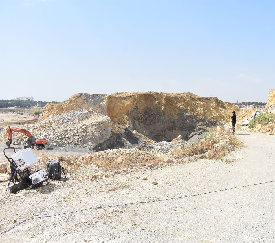
Geophysics reveals hidden subsurface insights, enabling safer and more sustainable developments that shape our future.

Understanding the Earth beneath our feet is the foundation of building a sustainable future above it.

Why

Choose GSG for GIS & Remote Sensing Services?

Advanced Technologies

We utilize cutting-edge GIS and remote sensing tools to deliver high-quality geospatial data for improved decision-making.

Comprehensive Solutions

From terrain modeling to environmental monitoring, we offer a wide range of GIS and remote sensing services tailored to meet your needs.

Timely and Accurate Data

Our services provide precise, real-time data to support critical decision-making processes.

Sustainability Focus

Our solutions prioritize sustainability, helping you manage resources efficiently and minimize environmental impact.

Customizable Approaches

Tailored services designed for a variety of sectors, ensuring the best fit for your project requirements.

Optimize Your Projects with GSG GIS & Remote Sensing Solutions

Whether you are planning land use, managing natural resources, or monitoring environmental changes, GSG's GIS & Remote Sensing services provide the insights you need for smarter, data-driven decision-making.

Contact Us

To learn more about how our advanced GIS and Remote Sensing technologies can optimize your next project

+966 50 29 28 667

info@gs-geo.com

www.gs-geo.com

Get Free Quote